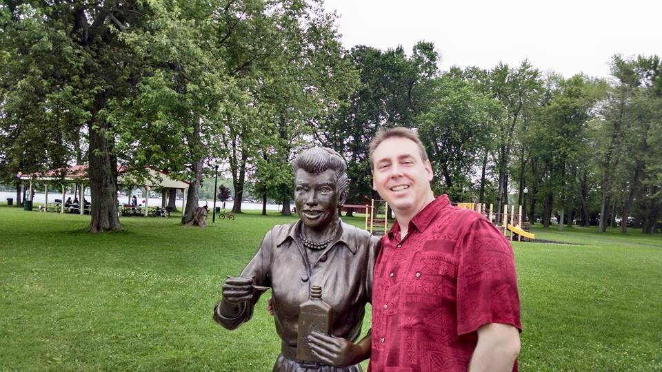
Core Skills and Abilities
Experience implementing and developing web based GIS applications
Billy Ashmall has over years of experience developing enterprise software solutions, and over years specializing in geospatial software engineering. He brings a strong focus on usability design and robust backend development.
Outstanding Problem-Solving and Strategic Thinking
I genuinely enjoy the process of creating thoughtful, effective solutions to real-world challenges. As a software engineer, I apply strategic thinking and problem-solving skills to design and build software that makes a meaningful impact.
A Unique Passion for Code with a Relentless Focus on Refactoring and Reuse
I see software development as both a craft and an art—one that requires time, care, and attention to detail. As I build solutions, I continually refactor and refine my code, creating modular, reusable components that make future projects more efficient, maintainable, and elegant.

What I Do
Billy Ashmall develops web-based tools that turn Earth observation data and satellite-based models into practical insights for decision-makers—from government officials to local planners. His work supports communities around the world, particularly in developing nations, but also includes efforts right here in the United States.
As a software engineer, Billy bridges the gap between scientific research and real-world application. He transforms complex satellite data into intuitive, accessible web platforms that empower users to understand climate, agriculture, disaster response, and environmental trends—all through a browser.
More about BillyWork Experience
USRA, SERVIR (NASA & USAID)
I also led onboarding, mentoring, and intern supervision; participated in hiring decisions; and managed application deployment and server configuration across development and production environments.
- Bangladesh Extreme Weather Alert: Deployed a system that generates CSV weather alerts and forecast maps for Bangladesh using HIWAT model data and custom shapefile boundaries.
- BEWA Delivery Platform: Led deployment and API integration for an ecosystem monitoring tool supporting environmental analysis workflows.
- Bhutan Crop Monitoring Application: Delivered a Django and JavaScript-based dashboard for crop monitoring using remote sensing, with automated service restarts and custom tiles.
- ClimateSERV: Core developer of SERVIR’s climate data portal, supporting historical and forecasted rainfall, NDVI, and CHIRPS datasets. Led API and frontend work using Django, REST, and Leaflet.
- ClimateSERVpy: Developed an installable Python package for integrating ClimateSERV API capabilities into external workflows and automation scripts.
- Collect Earth Online: Co-developed this FAO/SIG/SERVIR platform for visual interpretation of satellite imagery to support land use, forestry, and environmental assessments.
- Cerro-Cantil Protoservices: Developed Django services for visualizing MODIS and VIIRS hotspots and high-res satellite imagery from Planet. Included service-level aliasing and deployment automation.
- Farm Action Toolkit: Collaborated with SCO scientists to develop a toolkit using Earth observation data to inform decisions in food security and agricultural management.
- Guyana Mangrove Monitoring App: Built a Vue.js/Nuxt.js frontend for monitoring mangrove change, integrating geospatial layers and interactive charts.
- Hiwat Model Viewer: Lead developer on a Django + JavaScript web application for visualizing hydrologic model outputs. Supported scientists in managing workflows and running model scenarios.
- ISERV Viewer: Built a browser-based tool to locate and download georeferenced images from the ISS-based ISERV system. Supported use in disaster response and environmental analysis.
- SAMS – Application Management System: Designed and built a Django portal to manage SERVIR’s app registry, including metadata, contributors, service areas, and repository links. Deployed and maintained in production.
IAGT – Institute for the Application of Geospatial Technologies
Major Projects:
-
SERVIR (2006–2011): Collaborated with NASA
and CATHALAC to build tools such as:
- SERVIR Viz – a visualization platform for satellite and GIS data in Mesoamerica
- Disaster Relief Tools – real-time event tracking for South America
- Geospatial Diaspora Platform – academic and research collaboration for Africa
- FLLOWPA: Built tools for monitoring water quality and environmental research in the Finger Lakes region.
- Vineyard Project (Cornell): Developed GIS decision tools for grape planting suitability in New York State.
- EarthScope (NSF): Created decision-support tools for site suitability and public outreach.
- GIT Ahead Program: Enabled teachers to integrate GIS tools into science curricula using browser-accessible datasets.
Xerox Corporation
Monroe Community College
Specialized Skills
- Geospatial application development and custom mapping tools
- Remote sensing data processing and satellite imagery integration
- Decision support system (DSS) design and implementation
- End-to-end web GIS development (UI, API, deployment)
- Earth observation platform development (e.g., ClimateSERV, ISERV Viewer)
- Rapid prototyping and delivery for environmental and disaster response
- Collaborative community platforms for scientific and technical engagement
- Mentorship, onboarding, and team technical leadership
- Server configuration, deployment automation, and CI/CD pipelines
- Software training, documentation, and user support
Languages & Technologies
- Python
- JavaScript
- Vue.js / Nuxt
- HTML / CSS
- Django
- REST APIs
- SQL / PostgreSQL / SQL Server
- C#.NET / ASP.NET (2.0–4.0)
- AJAX / jQuery
- XML / XSLT
- OpenLayers / Leaflet
- ArcGIS / WMS / OGC Services
- Google Earth / Maps APIs
- Git / GitHub / GitLab
- NGINX / uWSGI / Apache
- Docker / Conda / Virtualenv
- CI/CD (Bash, cron jobs, auto-deploy scripts)
- DotNetNuke / DNN Module Development
- SOAP / REST
- Objective-C (legacy iOS apps)
Education

Bachelor of Science in Information Technology
- GPA: 3.4
- Concentrated in web development
- Completed co-op as software engineer
- Dean's list

Information Systems and Computer Science
- GPA 3.36
- Completed transfer requirements
- Dean's list

A.A. Humanities
- GPA 3.01
- Dean's list